
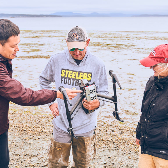
Timothy Hawthorne of UCF led a team to complete fieldwork in Belize and the Pacific Northwest coasts using drones. The project emphasized hands-on training for students and involves the mapping of seagrass to gain insights into marine life health.
“It was the common refrain for our work this summer: How lucky we are to be with each other and conducting research in an environment that isn’t a virtual acclimation?” said Hawthorne. The project is funded by the NSF and maps vulnerable coastal areas.
View Related Expert Profiles: Go to Source