
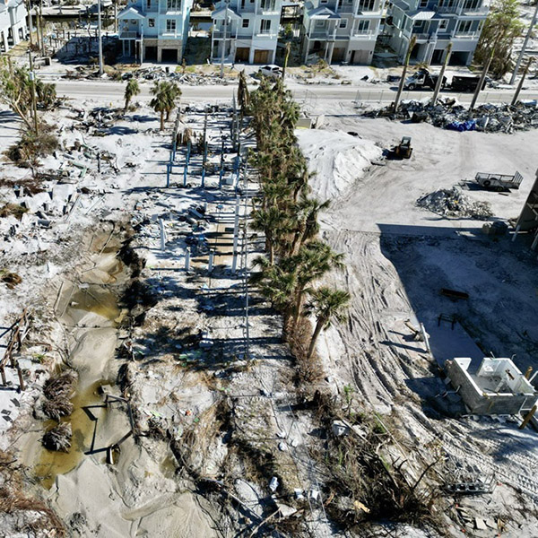
FAU researchers have developed a remote-sensing method that provides rapid, high-resolution assessments of damage after a hurricane. Using aerial imagery data and LiDAR, they identified the hardest-hit areas of Southwest Florida’s Estero Island during Hurricane Ian (2022) and estimated the extent of structural damage. They also compared pre- and post-storm structural changes to the beach.
“Employing this advanced technology ... enabled us to collect extensive data from Hurricane Ian’s aftermath and analyze large-scale datasets rather quickly,” says researcher Tiffany Roberts Briggs. “We found no correlation between the ground elevation or year built for the extent of damages,” emphasizing instead the role of extreme inundation and other factors contributing to vulnerability.
View Related Expert Profiles: Go to Source