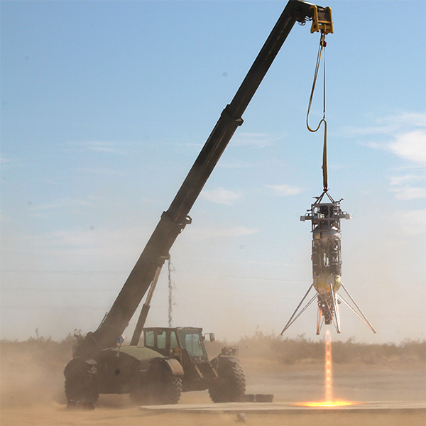
A USF team has flight-tested their new technology’s ability to collect data about surface features to generate an accurate topographical map for landing navigation and hazard avoidance. The technology could support low-cost, fully autonomous landings on the moon and the eventual establishment of a manned outpost.
The Automated Lidar Scanning Topography (A-LiST) invention was integrated onto a rocket-powered lander for a flight that simulated a lunar landing. The flight was part of the NASA TechLeap Prize’s Nighttime Precision Landing Challenge. “Leveraging our expertise in software, systems engineering and integration, the IAE team intends to dramatically reduce costs of precision landing technology, enabling increased potential for rapid lunar landings,” says Peter Jorgensen.
View Related Expert Profiles: Go to Source