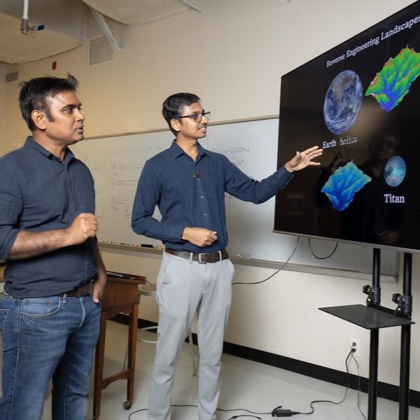
UCF researchers have created a framework which constructs realistic three-dimensional landscapes using two-dimensional river network patterns. “River networks encode the integrated effects of hydrologic and geomorphic processes, reflected in metrics such as drainage structure, channel geometry, relief and hypsometry (the measurement of elevation and depth),” says Arvind Singh.
Researchers applied the model to Mars and Titan by changing variables like gravity and sediment density. “Mars and Titan provide natural laboratories with different gravity and fluid/sediment properties, allowing the framework to test how identical network structures yield different landscapes under altered physical conditions,” Singh says.
View Related Expert Profiles: Go to Source